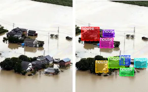
Japan has suffered tremendous damage from earthquakes and other natural disasters, including the 1995 Great Hanshin-Awaji Earthquake and the 2016 Kumamoto Earthquake. In these significant earthquakes, the number of victims due to occupants trapped by collapse and fire was exceptionally high, indicating the need to focus on the building structure for earthquake assessment. Detailed surveys by surveyors, automated satellite imagery, and UAV imagery are being used for assessment. However, these are aimed at secondary disaster prevention, reconstruction, and insurance coverage and require much time. Therefore, this method detects anomalous building structures by simultaneously observing multiple buildings using a UAV. The building structure is represented by the point cloud itself, and a machine learning model is used to classify the building as either undamaged or collapsed based on its features. These features are a Fisher Vector for the point cloud distribution and a Normal Histogram for the direction and number of planes in the point cloud. It takes advantage of the difference in shape between undamaged and collapsed buildings and the fact that the building surface becomes sparse due to collapse. Evaluation experiments showed both features achieved a ROC-AUC of more than 0.99, which indicated the machine learning model's performance independent of the threshold value and showed robustness to noise. Also the results show a trade-off between the time required for feature extraction, classification accuracy, and the degree of collapse that can be handled.
Point Cloud, Unmanned Aerial Vehicle, Earthquake Assessments

