防災・減災・耐災害
Disaster Management & Resilience
Natural disasters such as earthquakes, heavy rain, and landslides are becoming more severe and frequent. As a result, information infrastructure that supports rapid situational awareness, appropriate evacuation, and effective initial response is becoming increasingly important. We develop real-world systems for disaster prevention, mitigation, and resilience by combining AI, communications, drones and UAVs, LiDAR, and urban digital twins.

Distributed Landslide Prediction
Disaster data are often accumulated in imbalanced and distributed forms because of rainfall variation, terrain conditions, and differences among observation sites. We investigate distributed learning and inference frameworks that maintain predictive accuracy under these constraints, with the aim of improving early detection of landslide disasters and regional risk assessment.
This work was accepted at PerCom 2024 and demonstrated the effectiveness of distributed AI for disaster resilience.
Semantic Communication for Disaster Scene Sharing
Disaster scenes require rapid sharing of critical information from images, videos, and sensors, even when communication bandwidth is severely limited. We study semantic communication platforms that extract priorities and keywords on edge devices so that the most important information can still be delivered to command centers under constrained networks.


Ministry of Internal Affairs and Communications project FOWARD: "Semantic communication for multi-device collaborative situation understanding and its application to fire and rescue systems" (2024-).
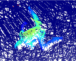
By extracting importance and keywords from scenes captured by cameras and LiDAR, and aggregating information from many devices efficiently, we support situational awareness and decision-making in disaster response headquarters.
Evacuation Guidance, Alerts, and Shelter Support
We also study systems that directly support residents, from everyday preparedness to emergency response. This includes information presentation that encourages evacuation, evacuation alerts coordinated with television broadcasting, and support systems for operating evacuation shelters.


As part of a JST CREST project, we are working on evacuation guidance support, TV-linked evacuation alerts, and shelter support systems.
Damage Assessment with Drones, UAVs, and LiDAR
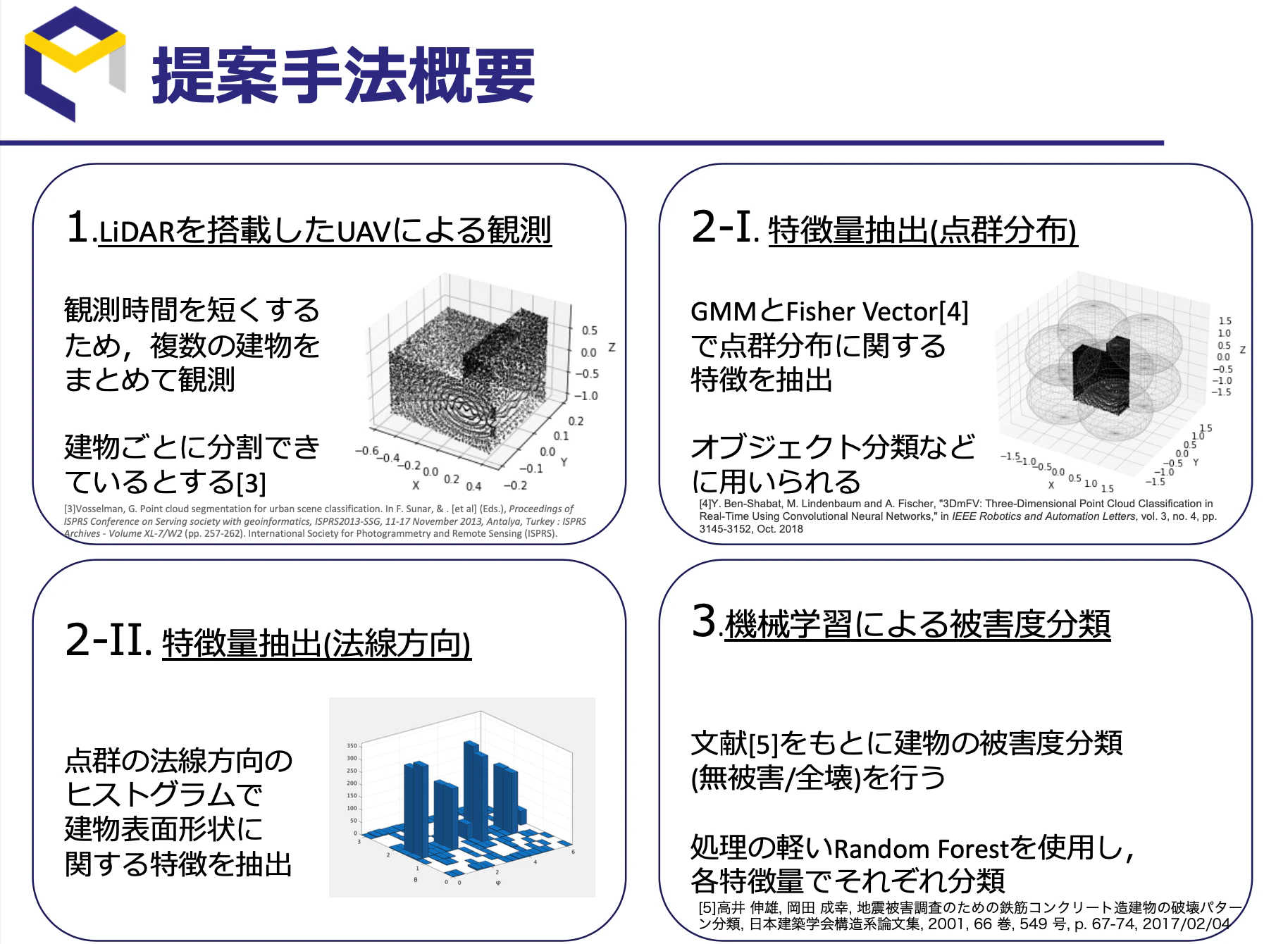
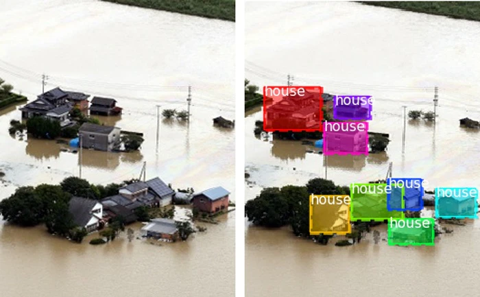
Immediately after a disaster, it is crucial to understand the condition of places that are difficult for humans to enter. We study situation-awareness technologies that use drones, UAVs, and LiDAR for 3D measurement and anomaly detection in disaster areas, supporting both emergency response and recovery planning.


We are advancing this line of work through NICT commissioned research and a JST PRESTO project focused on efficient disaster situational awareness.